Alex Headshot
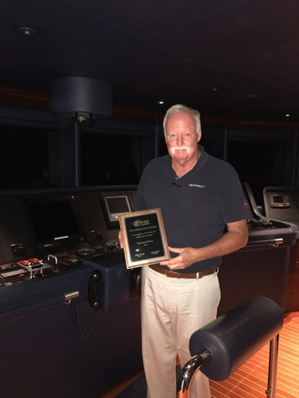
Ray Shore - Recipient of the WRI Appreciation Award, 2017
By: Alex Avalos, Meteorologist

Captain Ray Shore, of the M/Y Excellence V, is a recipient of the Weather Routing Inc., Appreciation Award in 2017, which is awarded to captains for their loyalty to WRI. We recently spoke with Captain Shore about his working relationship with WRI over the years, as well as his experiences as a yacht captain.

Weather Routing: How did you enter the yachting business?
Captain Shore My passion for the maritime industry runs deep and this has been the case since I was a very young age. Having been born in Newport, Rhode Island, I grew up around the boating industry, which was a very important economical factor to the region. Being surrounded by the industry led boating to become a lifelong passion that I continue to enjoy to this very day.

WRI: What are your most memorable moments as a captain?
CS: There are many memories as a captain that I can recall, including the hosting of a marriage ceremony on board the Excellence III, a civil union, which was a very unique experience. Over the years there have been several instances of less than pleasant and hazardous conditions while in transit. I am very grateful for the services that Weather Routing Inc. (WRI) provides to route us safely around hazards.

WRI: How long have you worked with WRI?
CS: Our relationship with Weather Routing goes back to 1988, back when Telex was a primary form of communication! As the technology has evolved, so have your services. I remember the days when I worked with Peter (owner of WRI), regarding Hurricane Andrew. Over the years, WRI has excelled and thrived in the evolution of technology, and this has provided us with the most accurate route recommendations and forecasts, where stops may become needed while en-route, and how long such stops would be necessary. This makes planning much easier, knowing the full picture of what is going on.

WRI: Can you remember a time where we saved you a lot of trouble?
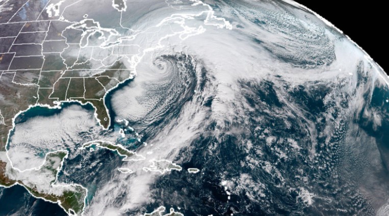
CS: We were crossing the Atlantic Basin from the Mediterranean, en-route for Fort Lauderdale, making the crossing around the peak of the hurricane season. We had been in close proximity to a particular tropical system and was transiting parallel to the feature. WRI's recommendations to turn us further south saved us significant headaches as we passed near Bermuda. From there, we had great sailing conditions the rest of the way to Fort Lauderdale.

WRI: What would you say to a captain who is interested in trying us out?
CS: Any captain new to WRI's services should utilize SeaWeather.net. These tools are a great supplement to the route recommendations and forecasts that WRI provides. From my understanding, WRI's reputation is very well known and expansive, and that many captains know about the services that WRI provides.

We enjoyed speaking with Captain Shore and learning more about how WRI has assisted him over the years. We look forward to many more opportunities to work with him in the future. The enhanced Dolphin now includes the following features:

Captain Ray Shore (from M/Y Excellence V) with his WRI Appreciation Award


Jonathan Headshot
What Made the Early January 2018 Winter Storm So Unique
By: Jonathan Blufer, Meteorologist

The term bomb cyclone has been floating around the media since a historical winter storm rapidly developed off the U.S. Eastern Seaboard on the 03rd through 05th of January – but what does the term "bomb" mean, and how did this system evolve?

While many have been calling this storm a winter "hurricane", this system did not share many characteristics observed in a tropical cyclone. This system developed through a process called cyclogenesis, feeding off the strong temperature contrast between a frigid arctic air mass over the Continental U.S. and relatively warm sea surface temperatures, particularly over the Gulf Stream. What made the development of this system unique was the southward extent this arctic air was able to make. While Nor'easters typically begin to undergo cyclogenesis off the South or North Carolina Coasts, this system formed a circulation off the Florida Coast due to record-breaking cold in the region.

Once this record cold pushed off the Florida Coast, warm air over the Atlantic was able to rise and condense into liquid water. Condensation (the process in which water converts from its gas into its liquid state) released heat, which provided an energy source for the continued development of an extratropical, or non-tropical, cyclone. Since this system began to form in such a moisture-rich environment, more water was present to condense, and explosive development was more likely to occur. When explosive development results in a minimum central pressure drop of 24 millibars in 24 hours, a system is known to experience "bombogenesis", hence the term bomb cyclone. This system far exceeded this criterion, with its minimum central pressure dropping 54 millibars in one day.


This image shows the true expanse and intensity of the system as it quickly progressed up the East Coast. Satellite imagery shows this system pulling warm, moist tropical air from as far south as Costa Rica, with cold air wrapping around the western periphery of the storm from Quebec.

Some highlights of impacts include:
  • The Nantucket Shoals Buoy recorded an atmospheric pressure of 957.7 millibars on the 04th - an intensity rarely observed in winter extratropical cyclones, and a pressure often seen in Category 3 or 4 hurricanes.
  • Hours later, Boston set a record tide of 15.16 feet, which broke the record of 15.1 feet set during the Blizzard of 1978. While the Blizzard of 1978 produced greater snowfall totals in the Northeast, the January 2018 storm reached Boston during high tide, during a full moon, and during the moon’s closest orbit to Earth.
We likely will not see a system of this magnitude for the remainder of this month (or even season), with less cold air currently locked in place over the Eastern U.S. and Western Atlantic. However, Nor'easters typically develop most frequently in February and early March, with WRI on standby to keep you safe the rest of the season!

Upcoming Events
03/09/2018 - 03/11/2018 - Storm Conference (Saratoga Springs, NY)
03/24/2018 - 03/25/2018 - World Cruising Seminar (Annapolis, MD)
04/18/2018 - 04/23/2018 - Pacific Sail & Power Boat Show (San Francisco, CA)
Product/Services
SeaWeather Trials
Yacht Services
Marina Services
Race & Rally Services
Angler Services
Special Projects

Visit us at Craneway Pavilion L16

Grand Isle Resort & Spa

Hotel Coral & Marina

Liberty Landing Marina

Captain Bob Lews Billfish Challenge

Mystic Shipyard

Admiral Cove Marina

Los Suenos Resort and Marina

Liberty Landing Marina