
|
Missed us in Newport? Come see us in Annapolis!
By: Amanda Delaney , Senior Meteorologist
|

|

|
The Autumn boat show season is upon us. Operations Manager, Jeremy Davis, and I represented Weather Routing Inc. at our booth at the Newport International Boat Show. We wanted to thank everyone who stopped by our booth to learn more about our services. Some of the highlights included:
We will again showcase our customized routing and forecasting services and our SeaWeather.net supplemental website. We will also be unveiling our new SeaWeather Onboard service, which allows you to view products found on SeaWeather with limited to no internet access required. In addition, we will have several WRI branded giveaways available.. We always enjoy meeting our present and future clients and hope you can stop by our location. If you plan on visiting, please let us know by e-mail at wri@wriwx.com. 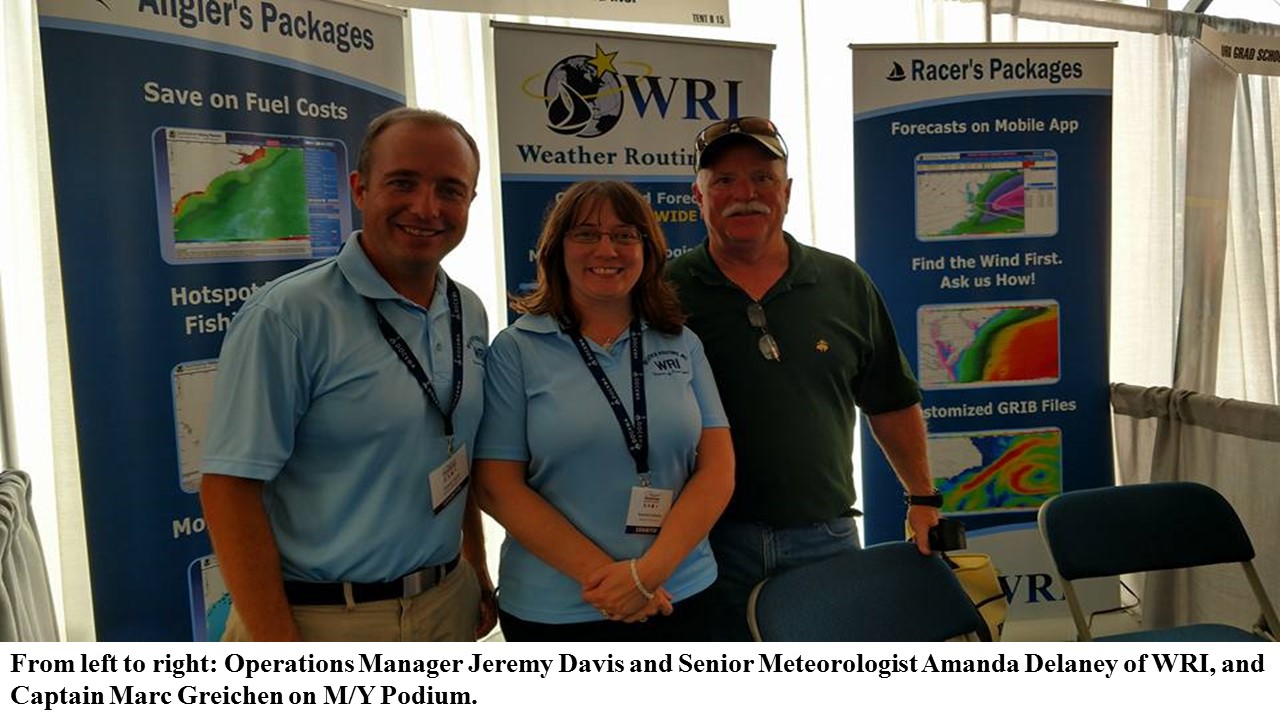
|
|
2016 Atlantic Tropics: A recap of earlier predictions, and what to expect for the remainder of the season!
By: Brian Whitley, Senior Meteorologist
|

|
Back in our May Newsletter, Jeremy Davis took a look into what to expect for this tropical season. He (and we) looked into several different factors in putting together a seasonal forecast of the coming tropical season. In reviewing that forecast, the below was some of the expectations.
One method of trying to forecast the future involves looking at the past and looking for seasons that had a similar pattern and then looking at what actually happened in the following time. We found that the Summer/Fall of 1998 was likely to be similar to this Summer/Fall; at least in that we were coming out of a very strong El Niño pattern and likely to at least have conditions become ENSO (El Niño/Southern Oscillation) neutral to perhaps a weak La Niña. That has now taken place, with the El Niño ending as expected, and we are now in ENSO neutral conditions, likely to remain there through the Fall. So, what we found with that season was a slow start with tropical activity and a far more active end to it. So far, it hasn’t quite played out that way. Hurricane Alex had formed in the central Atlantic on January 13th, but that particular system should be associated more with last season (even though the calendar says otherwise). Tropical Storms Bonnie, Colin and Danielle formed May 27th, June 05th and June 19th, respectively, all decidedly toward the early part of the climatological Atlantic Tropical Season. However, then there was a break in the action and there were no systems until August when things started to pick up significantly, which is more typical for a tropical season. As of September 28th, we have now had 12 named tropical systems (not counting Hurricane Alex in January), 3 of which became hurricanes and 1 (Gaston) who became a major hurricane. So while there was somewhat of an active start to the season, we are also starting to see that the end of this season is above normal, as expected. The upper level winds have become more favorable/weaker and there still are tropical waves moving off the African coast which will have potential for development as they move Westward across the Tropical Atlantic. Sea surface temperatures for much of the Tropical Atlantic are slightly above normal, with the Gulf of Mexico and much of the US East Coast and offshore well above normal. The bottom line… unfortunately, while we are beyond the Climatological peak of the tropical season (September 11th), we feel that there is still more to come and mariners need to remain vigilant. WRI can, of course, help you avoid these systems and keep you safe from the storm! 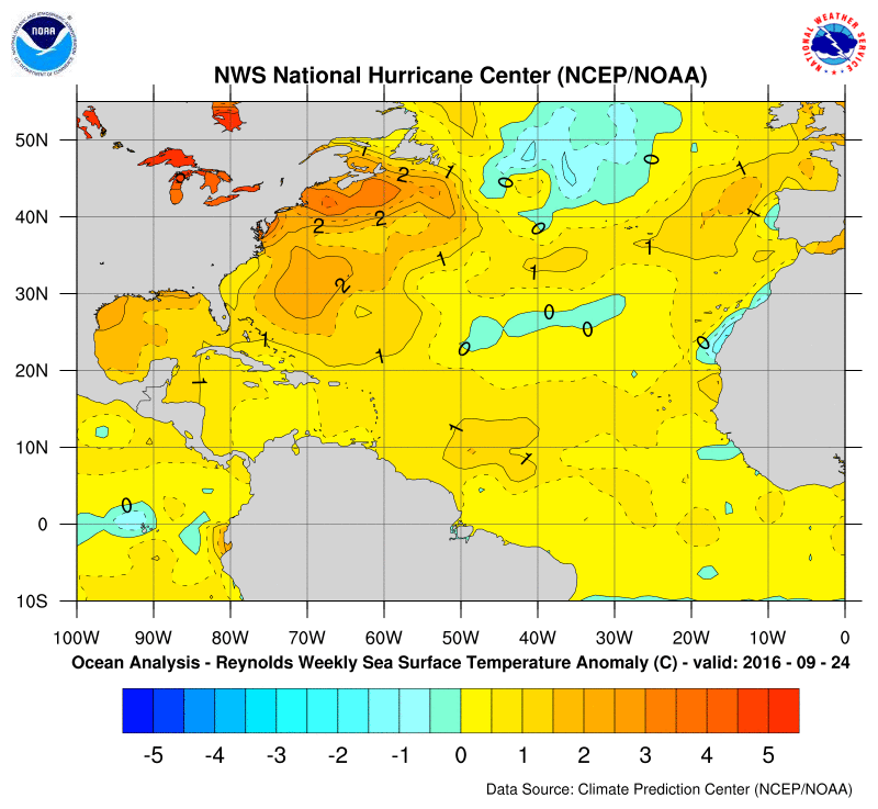
Current SST anomalies for the Atlantic
|
In this issue:
WRI Services:
Contact us for a Forecast!
wri@wriwx.com
+1-518-798-1110
Visit the new SeaWeather and request a trial!
Racing Forecasts for Racers
WRI Fishing Charts for Anglers!
Marina Forecasts
Heavy Weather Alerts
WRI Meteograms
 Need a Forecast?
Contact our professional meteorologists
Need a Forecast?
Contact our professional meteorologists
24 hours a day, 365 days a year at
(518) 798-1110
or wri@wriwx.com


Unsubscribe
WRI Services:
Contact us for a Forecast!
wri@wriwx.com
+1-518-798-1110
Visit the new SeaWeather and request a trial!
Racing Forecasts for Racers
WRI Fishing Charts for Anglers!
Marina Forecasts
Heavy Weather Alerts
WRI Meteograms
Need a Forecast?
Contact our professional meteorologists24 hours a day, 365 days a year at
(518) 798-1110
or wri@wriwx.com
Unsubscribe